FEMA L0102: Emergency Management Basic Academy Day-2

Guess what I get to talk about today?

I wonder if the boss will let me bring this teaching aid into class. “LSC from @rusnivek, Ima need a crane and a forklift please!”

Tsunami is a series of very long wavelength ocean waves caused by the sudden displacement of water by earthquakes, landslides, or submarine slumps.

While the inundation is important (max horizontal distance reached), the tsunami run-up (maximum height of the wave achieves) is totes important.

Varying factors play into inundation and run-up like

  • Energy of the tsunami
  • Topography of the land
  • orientation of the land to the oncoming wave
  • Tide

So there is no set same answer for every tsunami. Yeah, Emergency Managers need to be good about knowing their response area to best serve their community.

Repeat after me, “Locals will execute…”

@rusnivek


DuPage County partners w/ OHSEM to lead the way with Outdoor Weather Event & Planning TableTop Exercise

As our office continues to work the magic for all of our partners in public safety, today we continue to rollout the new Event Ready Weather Decision toolkit that helps any agency with critical command decisions.

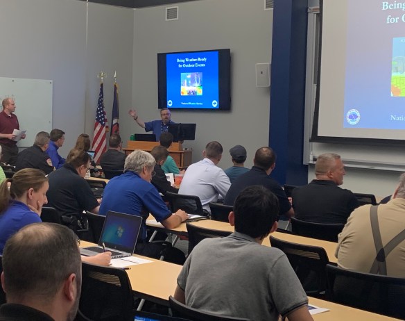
Our office has worked closely with the National Weather Service Chicago in developing this process.

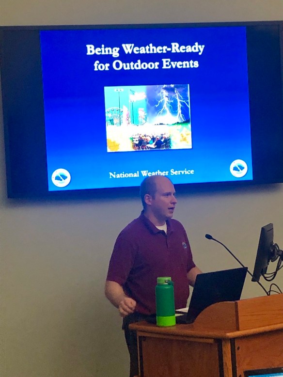
And of course to pair with the class, we have a Outdoor Event Planning TableTop to help concrete the points to all participating agencies.

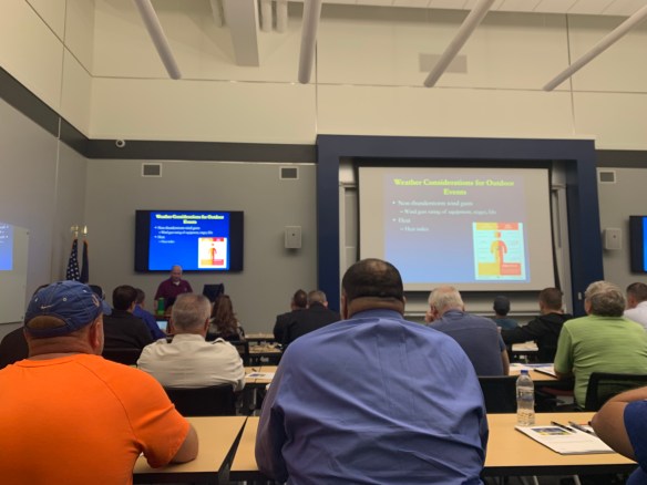
Not only developing, but making sure that the information is compliant….

…like HSEEP compliant TableTop exercise compliant.

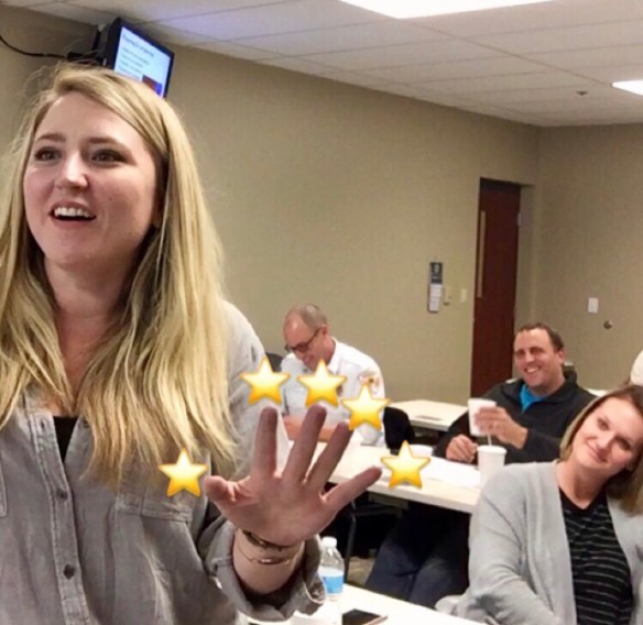
That’s right – welcome to the #EmergencyManagement pros!

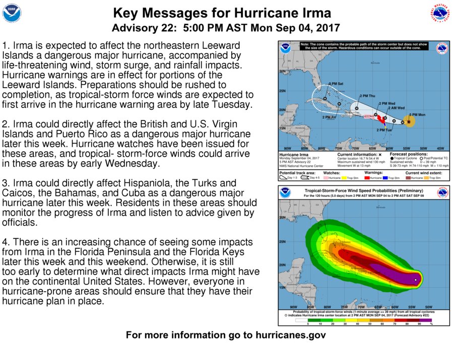
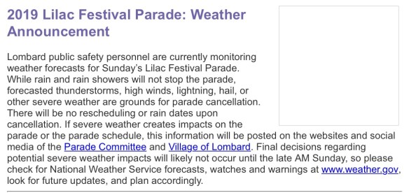
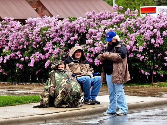
Success? Does it work? Hellz yeah it works! Just ask Lombard’s PIO Avis Meade who used this planning guide for their 2019 Lilac Parade.

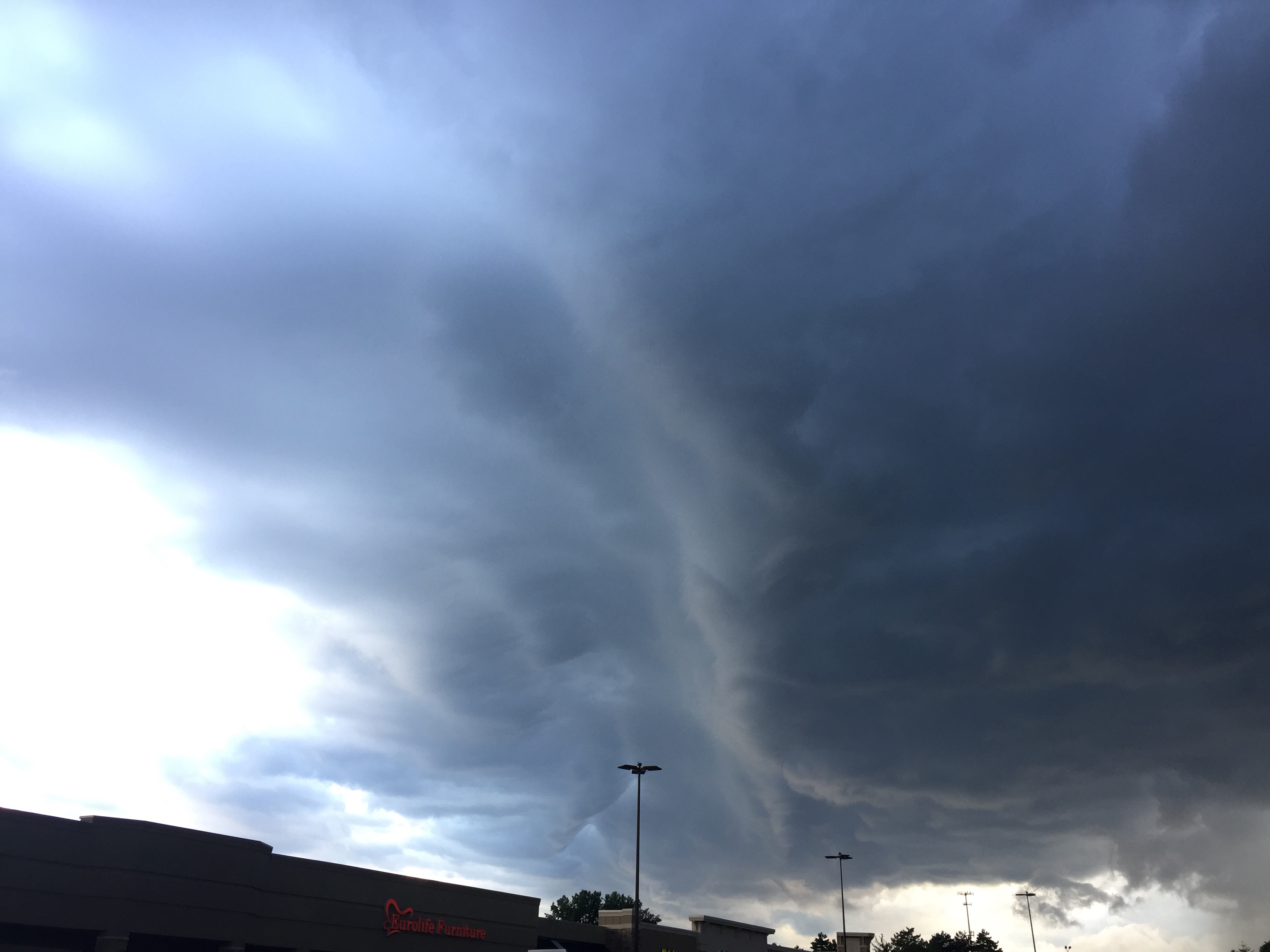
Their actions based on NWS Chicago data and critical command decisions likely saved lives as severe weather rolled into the area with an exposed and completely vulnerable population.

Let me say that again, the planning and preparedness efforts from everyone in Lombard saved lives.

Let me translate that for you (think FEMA Core Capability): Sharing good info (Intelligence and Information Sharing), working closely with local, county, and state partnerships (Operational Coordination), and known trusted information (Public Information and Warning)

Decisions made in advance with partnerships with the local National Weather Service can save lives?!?!? YES IT CAN!

In Emergency Management, our decisions are collaborative and based on a combination of historical data and past industry practice. This is what Emergency Management is all about. Repeat after me: Planning and Coordination. Planning and Coordination.Planning and Coordination.Planning and Coordination.

I am proud to be a small part of many agencies doing the right thing for communities across this county and this great country.

Me? You know, I’m always willing to serve.

@rusnivek

Fugly little thing messing up weather today #Groundhogs day

PIO message –

Friendly reminder: REAL weather predictions should be based from real science (like our professionals from the National Weather Service @)…not a fugly little fat groundhog on one-single day.

C’mon peeps! Common sense right?!?

@rusnivek


Sharks in the HOV lanes? Cmon! #SharkWeek #2018

And for the second disaster trick, this picture….

IT AIN’T REAL!!!

Don’t be a dingbat, stop sharing this fake picture during disasters and/or flooding.

Aaaaaand yes, an easy twofer here too: TURN AROUND, DON’T DROWN!!!

Be a good steward of social media information.

@rusnivek

What does the term “Heat Index” really mean? #HOT

Ever wonder what “Heat Index” means?

The Heat Index is a measure of how hot it really feels when relative humidity is factored in with the actual air temperature. To find the Heat Index temperature, look at the Heat Index Chart above or check our Heat Index Calculator. As an example, if the air temperature is 96°F and the relative humidity is 65%, the heat index–how hot it feels–is 121°F. The red area without numbers indicates extreme danger. The National Weather Service will initiate alert procedures when the Heat Index is expected to exceed 105°-110°F (depending on local climate) for at least 2 consecutive days.

NWS also offers a Heat Index chart for area with high heat but low relative humidity. Since heat index values were devised for shady, light wind conditions, exposure to full sunshine can increase heat index values by up to 15°F. Also, strong winds, particularly with very hot, dry air, can be extremely hazardous.

Information provided by the NWS – the official source of weather related information.

@rusnivek


Surviving catastrophic flooding and key USAR numbers deployed

A few home safety tips on surviving catastrophic flooding.


Some key USAR facts (from this morning’s brief):

  • 6 type-1 FEMA USAR Task Force Teams deployed.
  • 8 type-3 FEMA USAR Task Force Teams deployed.
  • 13 Water Rescue Teams from FEMA USAR Teams deployed.
  • Over 900 USAR personnel working.

Stay safe out there.

@rusnivek

Rain drops are falling on my head…

I’m no meteorologist, but I think this is a bad sign when clouds look like this. #fugly


Tune into your local National Weather Service (NWS) Office for more details about weather in your specific area.

There are 122 of them. All staffed 24/7.

They provide info. For free.

Reporting live and running inside now…

@rusnivek

Wipers on = Lights on! 2017 #National #Severe #Weather #Preparedness

2017 National Severe Weather Preparedness week.

As we start to experience more rain (April showers) – we need to constantly remind people – IF YOUR WIPERS ARE ON, TURN YOUR HEADLIGHTS ON!

Can you identify which vehicle doesn’t have their headlights on? Kinda hard to spot huh?

Despite daytime on a gloomy day, I think people just forget to turn their headlights on.

Consider using this safety meme whenever it rains.

Trust me, it’s free.

Every state is different so check your state and local laws. Or just turn them on whenever you turn your windshield wipers on.

More free severe weather safety tips this week…

@rusnivek