The last Tuesday in the 2015 National Preparedness Month!
Today, look to building new relationships.

Normally, we don’t look outside the realm of daily public safety. It’s easy to talk to Fire/EMS, Law Enforcement, or Public Works Professionals. However, new discussion needs to happen between individuals who can support our mission goals or some unmet needs.
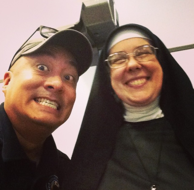
Faith-based organizations are great groups to explore new activities to support your community. In varying degrees, faith-based organizations have the capabilities to support disaster response and recovery operations with food, shelter, and supportive measures. But again, the key is to open discussions BEFORE a disaster so you can evaluate their capability.

Additionally, talk to your local politicians…esp if they are an active part of your Community Emergency Response Team (CERT). These civic-minded individuals have most likely gone through additional preparedness training and can be a great resource for anyone.

Trust me, these are the kinds of people you want to be in close contact with before, during, or after an emergency/disaster.
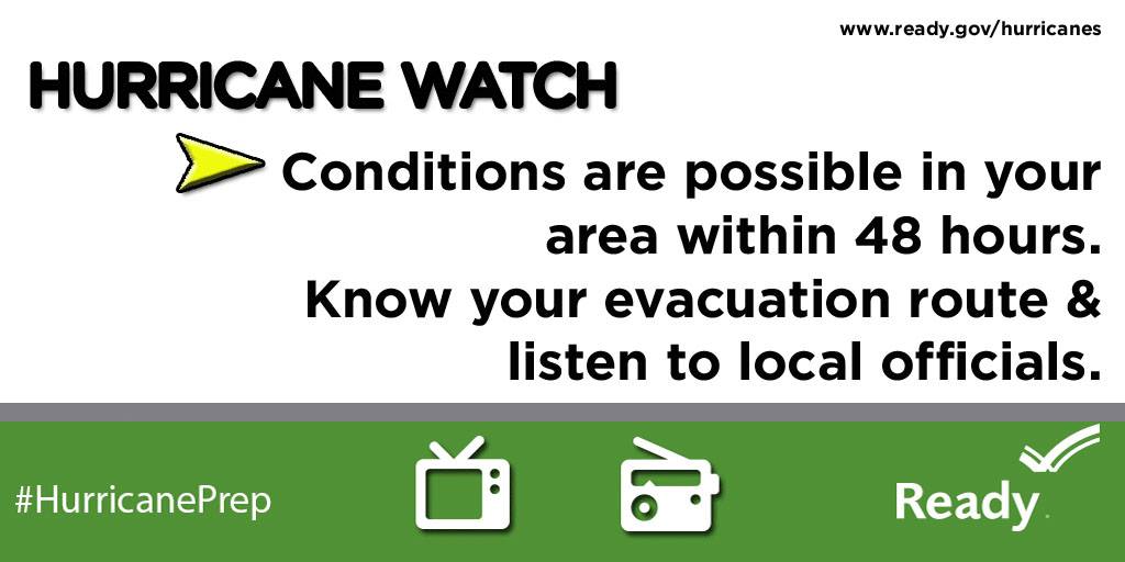
Don’t wait. Communicate. Make your emergency plan today.

Get to know some new local peeps!
Tuesday is here – so get prepared by clicking here.
@rusnivek