I’ve said it about a million times now.

Bringing my best emergency management stuff today.
Teamwork brings success.

I’ve said it about a million times now.
Bringing my best emergency management stuff today.
Teamwork brings success.
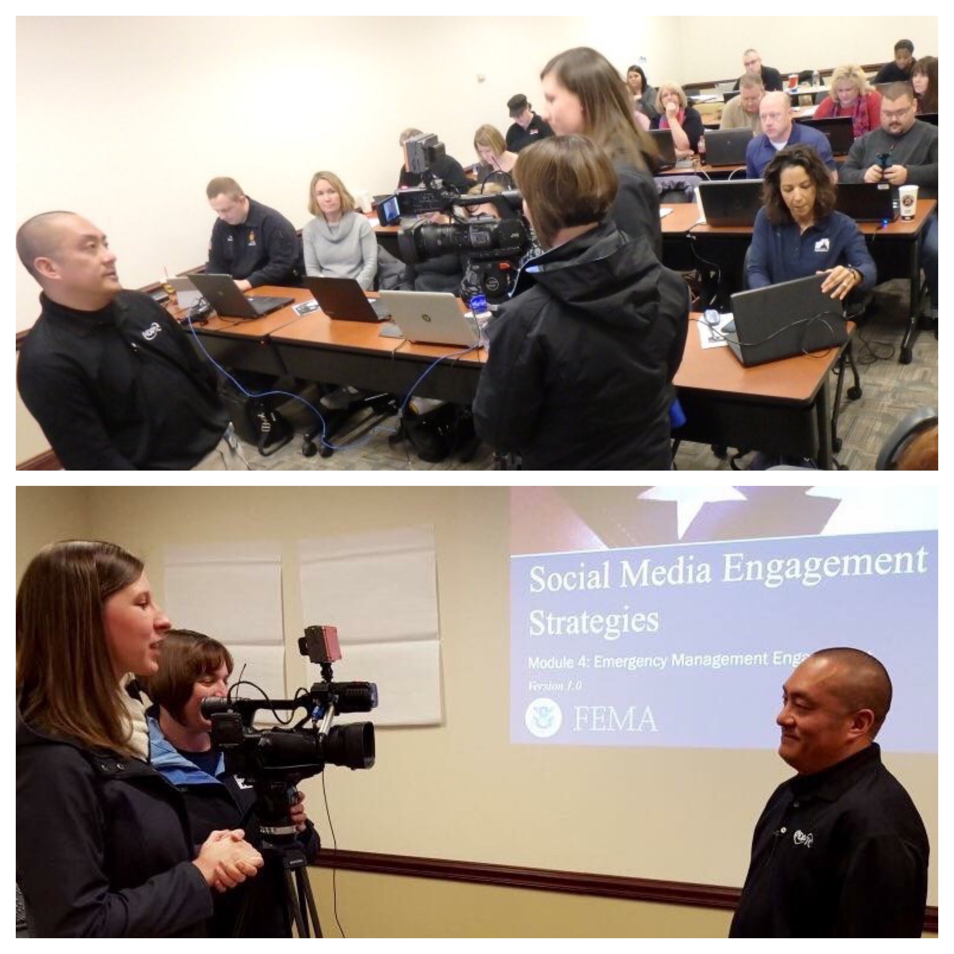
Last week, I had the chance to present in front of the leaders of South Carolina in Myrtle Beach at the 2016 South Carolina Business Disaster Recovery Symposium.

It was a packed house! (Photo credit: A. Hardin)
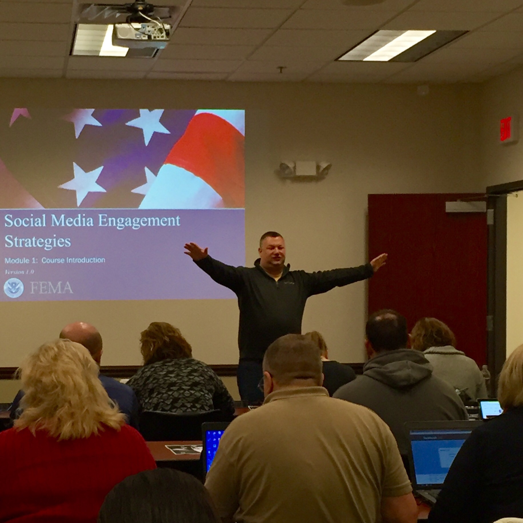
It is outstanding to see everyone, especially private industry building partnerships with governmental agencies. I talked a ton about the use of social media and communications.

Just me, standing on chairs dancing away.
Of course all the news media was there too…

WMBF News (NBC Affiliate)
PIO interview skills in 3…2…1…

“We must work in tandem with our partners in public safety…” (Photo credit: A. Hardin)
And the reporter?

Trust me, the WPDE (ABC affiliate) News reporter Liz Cooper was hilarious. (Photo credit: A. Hardin)
At this Symposium, not only were they talking about preparedness…

Gahhhh, I love preparedness! My favorite month is……. (Photo credit: A. Hardin)
…we talked a ton about response and RECOVERY!

Because it isn’t as sexy, the recovery phase in Emergency Management does not have the same visibility when compared to the Preparedness phase or the Response phase. So this symposium is a perfect opportunity to showcase some messaging and how communications needs to be an integral part of any government or private business during recovery.

And when the Horry County Office of Emergency Management deems your presentation “on fleek” – *swoon*

Mahalos Brooke!
Many thanks to the team at the City of Myrtle Beach. Special Alohas to EM Rockstar Allison and Senior Planner Diane for the invite.

Preaching the good word about Disaster Recovery in South Carolina!
Looking forward to next year!
Very true esp in Emergency Management and Emergency Services.

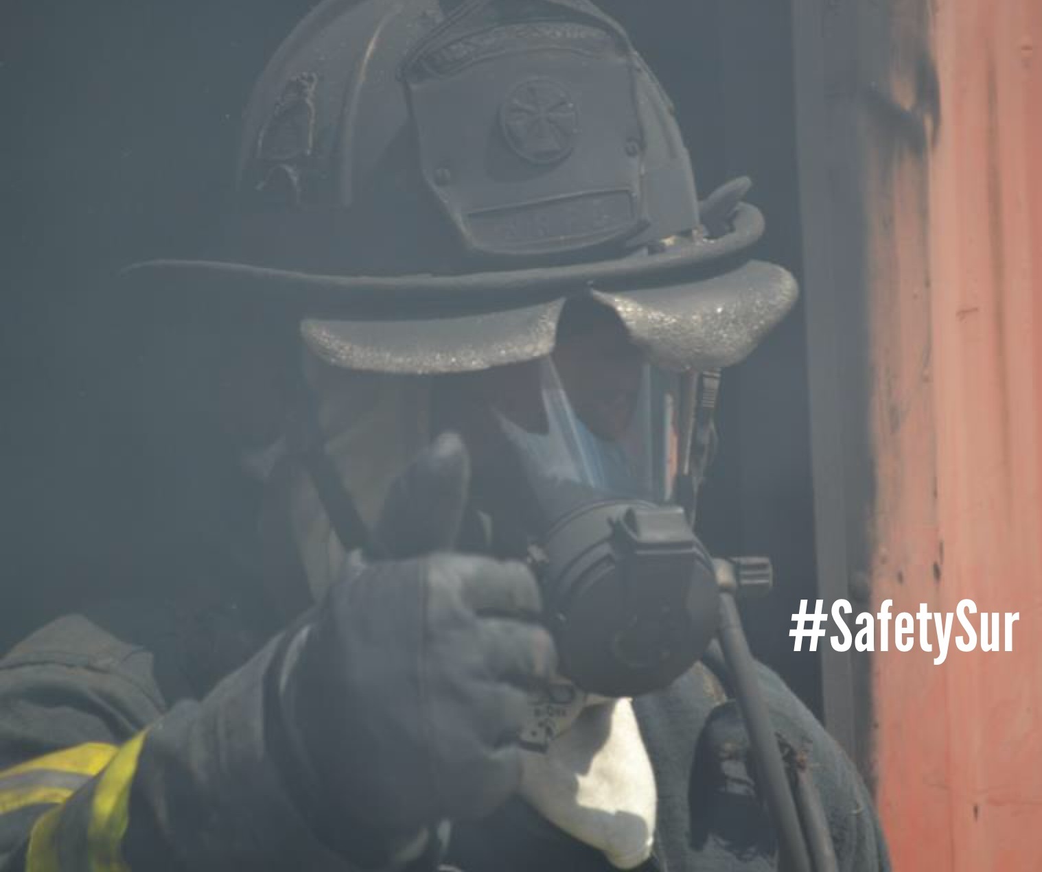
Don’t fake it, take the time to know your resources.
Know your resources, learn about your resources, embrace your resources, support all your resources, don’t play favorites, and then train/exercise with all your resources.
Your first hand knowledge of your resources will set you apart from other fake managers.
People look to you during an emergency or disaster.
Set the example and be the catalyst of something great within your community.
My social media class today…
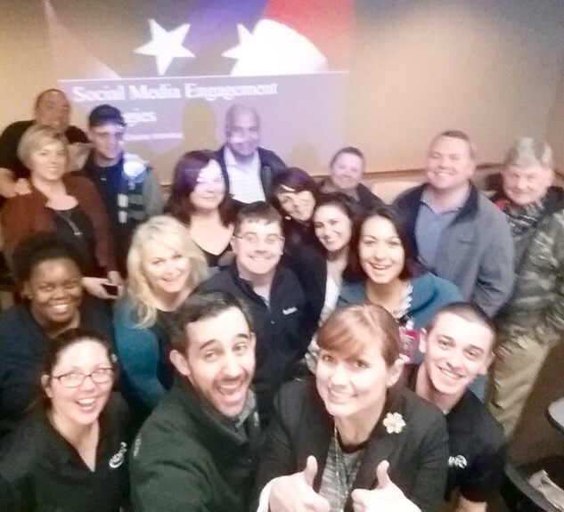
Definitely one of the most diverse All-Hazard classes I had in a long while. Participants represented Emergency Management, Fusion Center, Public Works, Land & Natural Resources, Fire, Health Department, EMS, Private sector, HAZMAT, Police, Veteran’s Affairs, Intelligence, US Coast Guard PIAT, National Weather Service, CERT, and PIOs / PAOs.
Top notch peeps from across the country this week!
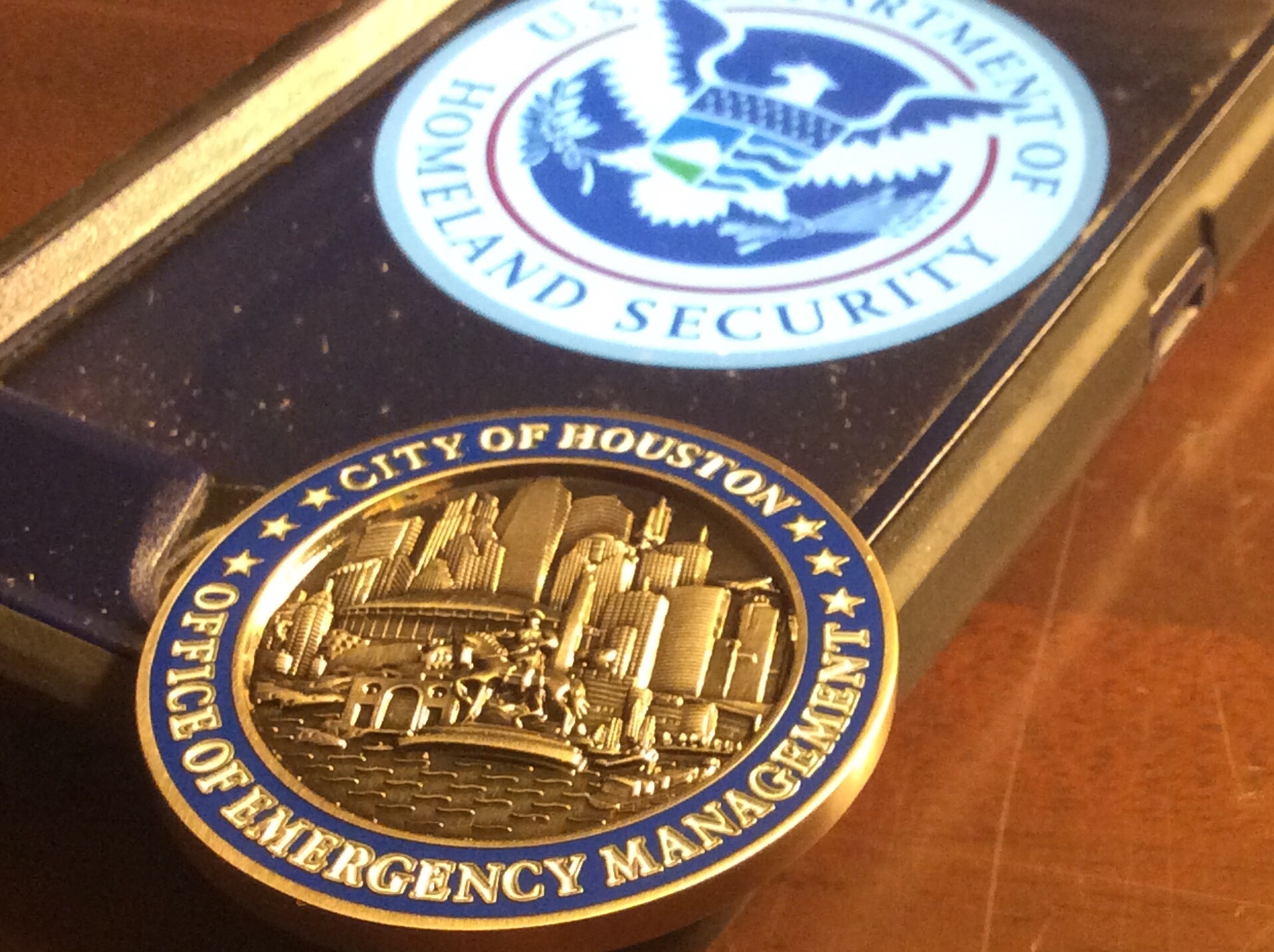
Special thanks to my old friend Houston Office of Emergency Management Melanie Manville for hosting this new #NDPTC class.
Many Mahalos.
NDPTC Class went pretty well yesterday.
Great leadership at Illinois State University’s Emergency Management program.
Glad to have solid instructors with me.

Good meme discussion…

…and great participation from so many public safety professionals.

Just glad to be part of something big.
Reporting live from ISU’s campus in central Illinois…
Awwww, thank you for the kind words! From the pros at the National Weather Service Office in Louisville.

*blush*
Wx love from the Louisville crew definitely made my day.
Of course it’s Monday #Munday

Time to have a chat with the intern.
PC Load letter all. Day. Long.
Sigh.
As National Preparedness Month closes, my October 2015 schedule is going to be very challenging. And as you know, I have to win. Here’s the plan:
First week: I’ll be in Carlisle, Pennsylvania presenting on Social Media in disasters. Pope out, Sur in! Glad to be back in Region-3.
Second week: I’ll be headed back to the Silicon Valley area presenting on social media specifically for large event planning and monitoring (because it’s all about the L right? Wait, it’s all about the 5-0 right?) I also hope to catch up to one of the VIPs at Intel. Since retiring from Emergency Management, his pro career intrigues me – so I believe some synergies could happen. Additionally, I get a chance to brainstorm with an extremely talented colleague from the NWS Sacramento office. I rant about “building relationships before an emergency” so I assure you that I am practicing what I preach. Love love LOVE me some Region-9!
Third week: I’ll be at Fairfield County (Ohio) Emergency Management Agency popping the G-290: Basic Public Information Officers Course and G-291: Joint Information Center / Joint Information System (JIC/JIS) courses. It will definitely be great to see my friend Director Kochis and crews again – back in Region-5.
Fourth week: I’ll be presenting at FEMA HQ in Washington DC on social media. Yep, at the big house. OMG. This is a big presentation. Big. REALLY BIG. While at HQ, I am hoping to catch up with Lumpkins, Kamoie, FEMA’s Digital Engagement Team…and since we’re fresh off the heels of National Preparedness month grabbing a cup of coffee with my besties from ReadyGov and PrepareAthon. Love me some HQ preparedness action! Additionally, I am hoping to grab a few meetings with my friends at the Pentagon and NGA too. Special thanks to US Representative Fudge (OH-11) for some extra time with Congress and a stop at the White House. Yep. The White House. Again. #SURINDC NCAP region!

It’s going to be a challenge month all October long.
Get it.
Ahhhhh, the last day of 2015 National Preparedness Month – THAT MEANS TODAY IS NATIONAL PREPAREDNESS DAY!!!!

Oh Yeah – You did it!
I know many of you have shared your tips and preparedness efforts with countless others. I am confident that your shared knowledge will pay off as we better prepare our fellow Americans for any disaster or emergency.
Thanks to all of our active partners in public safety. From the Locals to State to Federal partners who have made this month so successful – thank you!
Thank you to my agencies who have allowed me to share my preparedness tips with you.
I only wonder what will 2016 preparedness bring? Hmmm. Here’s a hint…
…and a little of this…

…and definitely more of this.

Who’s excited? <SQUIRREL!>
Don’t wait. Communicate. Make your emergency plan today.

Whew-I am so glad that many of you have decided to participate in this month’s activities. Keep in mind that you have 11 more months to address your public in finding ways to be better prepared in a disaster. Planning for the 2016 National Preparedness Month will begin shortly.
As always, start your peeps off right by sending them here.
TBT to a Category 4 Hurricane Kevin from 1991.

Whoa-Hurricane Kevin was quite strong.
Saffir-Simpson Hurricane Wind Scale: The Saffir-Simpson Hurricane Wind Scale is a 1 to 5 rating based on a hurricane’s sustained wind speed. This scale estimates potential property damage. Hurricanes reaching Category 3 and higher are considered major hurricanes because of their potential for significant loss of life and damage. Category 1 and 2 storms are still dangerous, however, and require preventative measures. In the western North Pacific, the term “super typhoon” is used for tropical cyclones with sustained winds exceeding 150 mph.
| Category | Sustained Winds | Types of Damage Due to Hurricane Winds |
|---|---|---|
| 1 | 74-95 mph 64-82 kt 119-153 km/h |
Very dangerous winds will produce some damage: Well-constructed frame homes could have damage to roof, shingles, vinyl siding and gutters. Large branches of trees will snap and shallowly rooted trees may be toppled. Extensive damage to power lines and poles likely will result in power outages that could last a few to several days. |
| 2 | 96-110 mph 83-95 kt 154-177 km/h |
Extremely dangerous winds will cause extensive damage: Well-constructed frame homes could sustain major roof and siding damage. Many shallowly rooted trees will be snapped or uprooted and block numerous roads. Near-total power loss is expected with outages that could last from several days to weeks. |
| 3 (major) |
111-129 mph 96-112 kt 178-208 km/h |
Devastating damage will occur: Well-built framed homes may incur major damage or removal of roof decking and gable ends. Many trees will be snapped or uprooted, blocking numerous roads. Electricity and water will be unavailable for several days to weeks after the storm passes. |
| 4 (major) |
130-156 mph 113-136 kt 209-251 km/h |
Catastrophic damage will occur: Well-built framed homes can sustain severe damage with loss of most of the roof structure and/or some exterior walls. Most trees will be snapped or uprooted and power poles downed. Fallen trees and power poles will isolate residential areas. Power outages will last weeks to possibly months. Most of the area will be uninhabitable for weeks or months. |
| 5 (major) |
157 mph or higher 137 kt or higher 252 km/h or higher |
Catastrophic damage will occur: A high percentage of framed homes will be destroyed, with total roof failure and wall collapse. Fallen trees and power poles will isolate residential areas. Power outages will last for weeks to possibly months. Most of the area will be uninhabitable for weeks or months |
Don’t wait. Communicate. Make your emergency plan today.
Hurricanes are unpredictable so get Ready by starting here for free!
