#TBT to the Category 4 Hurricane Kevin (1991) #NatlPrep #Saffir #Simpson #Wind #Scale

TBT to a Category 4 Hurricane Kevin from 1991.

HurricaneKevin-track-1991

Whoa-Hurricane Kevin was quite strong.

Saffir-Simpson Hurricane Wind Scale: The Saffir-Simpson Hurricane Wind Scale is a 1 to 5 rating based on a hurricane’s sustained wind speed. This scale estimates potential property damage. Hurricanes reaching Category 3 and higher are considered major hurricanes because of their potential for significant loss of life and damage. Category 1 and 2 storms are still dangerous, however, and require preventative measures. In the western North Pacific, the term “super typhoon” is used for tropical cyclones with sustained winds exceeding 150 mph.

Category Sustained Winds Types of Damage Due to Hurricane Winds
1 74-95 mph
64-82 kt
119-153 km/h
Very dangerous winds will produce some damage: Well-constructed frame homes could have damage to roof, shingles, vinyl siding and gutters. Large branches of trees will snap and shallowly rooted trees may be toppled. Extensive damage to power lines and poles likely will result in power outages that could last a few to several days.
2 96-110 mph
83-95 kt
154-177 km/h
Extremely dangerous winds will cause extensive damage: Well-constructed frame homes could sustain major roof and siding damage. Many shallowly rooted trees will be snapped or uprooted and block numerous roads. Near-total power loss is expected with outages that could last from several days to weeks.
3
(major)
111-129 mph
96-112 kt
178-208 km/h
Devastating damage will occur: Well-built framed homes may incur major damage or removal of roof decking and gable ends. Many trees will be snapped or uprooted, blocking numerous roads. Electricity and water will be unavailable for several days to weeks after the storm passes.
4
(major)
130-156 mph
113-136 kt
209-251 km/h
Catastrophic damage will occur: Well-built framed homes can sustain severe damage with loss of most of the roof structure and/or some exterior walls. Most trees will be snapped or uprooted and power poles downed. Fallen trees and power poles will isolate residential areas. Power outages will last weeks to possibly months. Most of the area will be uninhabitable for weeks or months.
5
(major)
157 mph or higher
137 kt or higher
252 km/h or higher
Catastrophic damage will occur: A high percentage of framed homes will be destroyed, with total roof failure and wall collapse. Fallen trees and power poles will isolate residential areas. Power outages will last for weeks to possibly months. Most of the area will be uninhabitable for weeks or months

Don’t wait. Communicate. Make your emergency plan today.

CKYhdyqUMAQdNj1

Hurricanes are unpredictable so get Ready by starting here for free!

@rusnivek

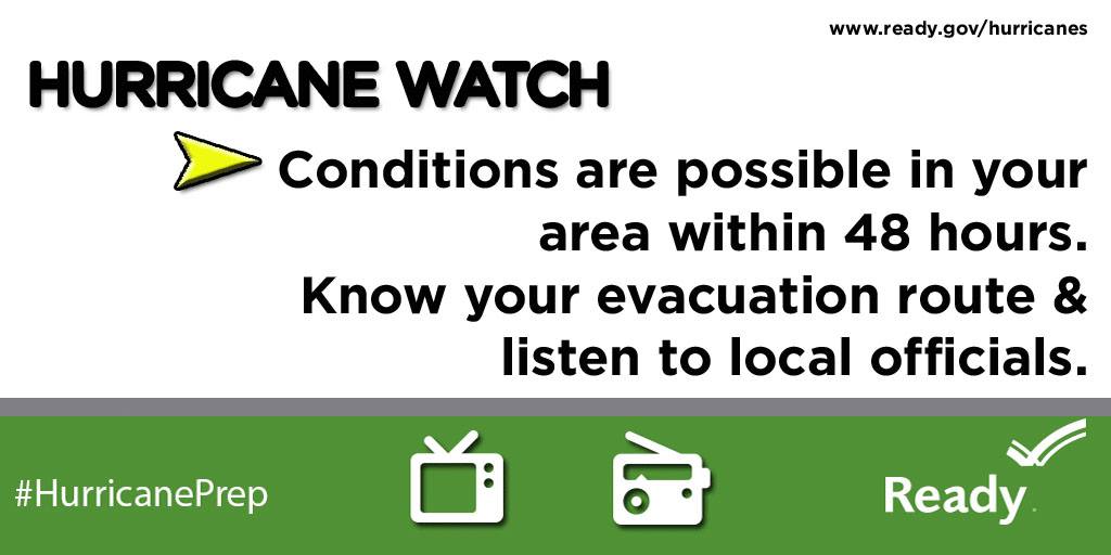
Hurricane: Watch vs Warning #NatlPrep #Hurricane

For hurricanes, do you know the difference between Watch vs Warning?

1559250_845215625565125_4829780281827812212_o

and

10478706_845214062231948_8337736483761113188_o

Simple huh?

For more information, check out FEMA’s Ready.Gov program.

And be prepared for the next hurricane!

Don’t wait. Communicate. Make your emergency plan today.

CKYhdyqUMAQdNj1

Awwww yeah, I’m talking about hurricanes on a Windsday.

@rusnivek

New technologies for NHC #NatlPrep #Hurricane

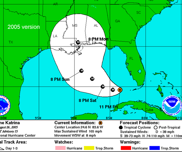
10 years ago, Hurricane Katrina ravaged the gulf states.

CGGFEEzWYAIMTWO

However, with the advances in technology, the National Hurricane Center has improved their prediction forecast…aka technology has improved to showcase the areas likely to be hit.

18421989-mmmain

Regardless of your location, please prepare for hurricanes.

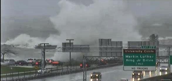
Yes, three years ago, I was told “…that will never happen here” and “Stop wasting your time.” Soon after, Hurricane Sandy hit Ohio in 2012.

db772373ffb1c51d4816c8e7b17c8ae4

Know where to go. If you are ordered to evacuate, know the local hurricane evacuation route(s) to take and have a plan for where you can stay. Contact your local emergency management agency for more information.

No matter where you are, please prepare for hurricanes.

Don’t wait. Communicate. Make your emergency plan today.

CKYhdyqUMAQdNj1

No one wants to be unprepared.

@rusnivek

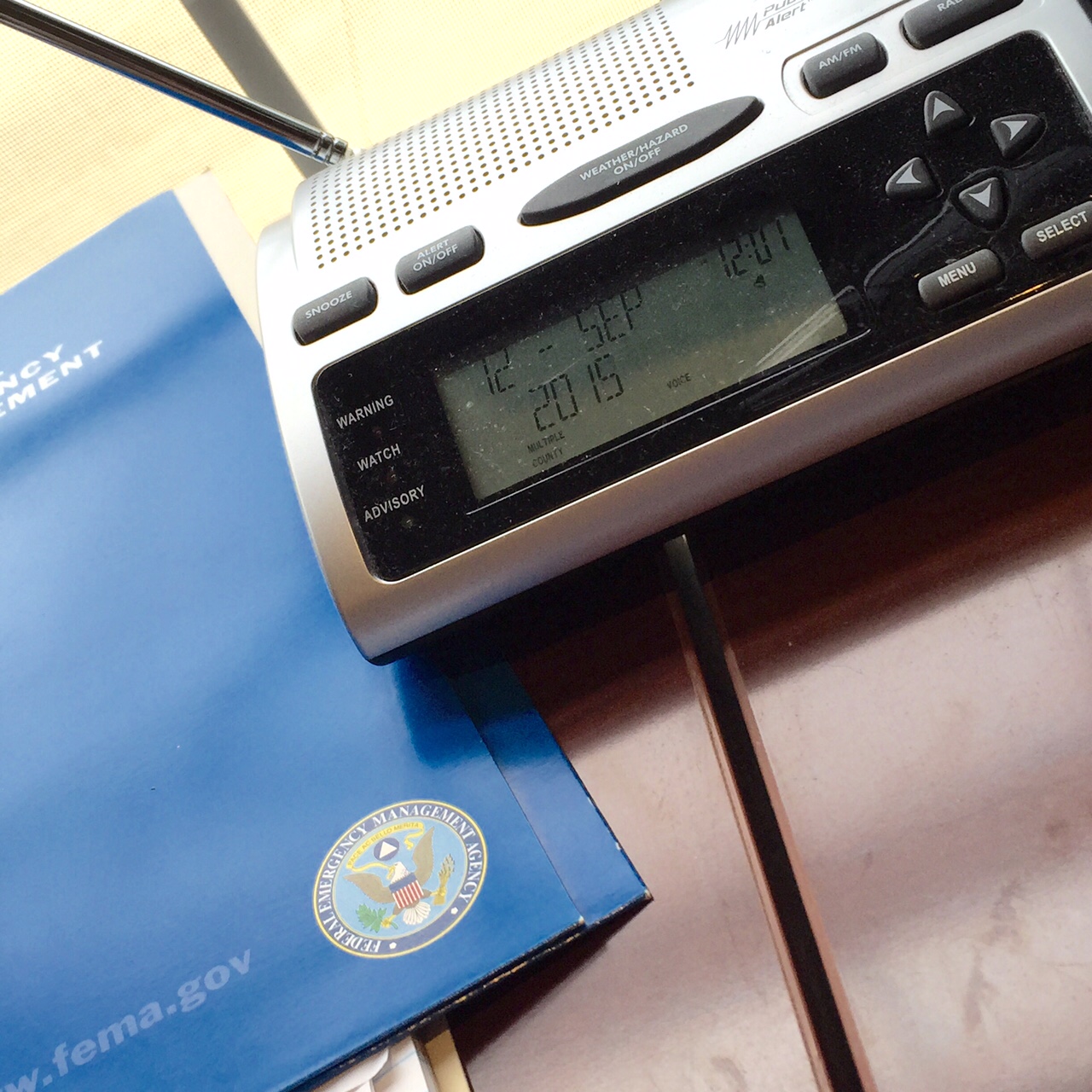
Double checking my weather radio for #NatlPrep #Hurricane

Peeking into the third week of National Preparedness Month – this week is all about Hurricanes!

So to make sure we are all prepared, I double checked my weather radio yesterday.

weatherradiocheck

I’m Ready!

If you live in Ohio, don’t forget to program your weather radio with these specific frequencies.

Don’t wait. Communicate. Make your emergency plan today.

CKYhdyqUMAQdNj1

Third week in. Are you Ready?

@rusnivek

Teaching the brand new DHS/FEMA Basic Public Information Officer Course

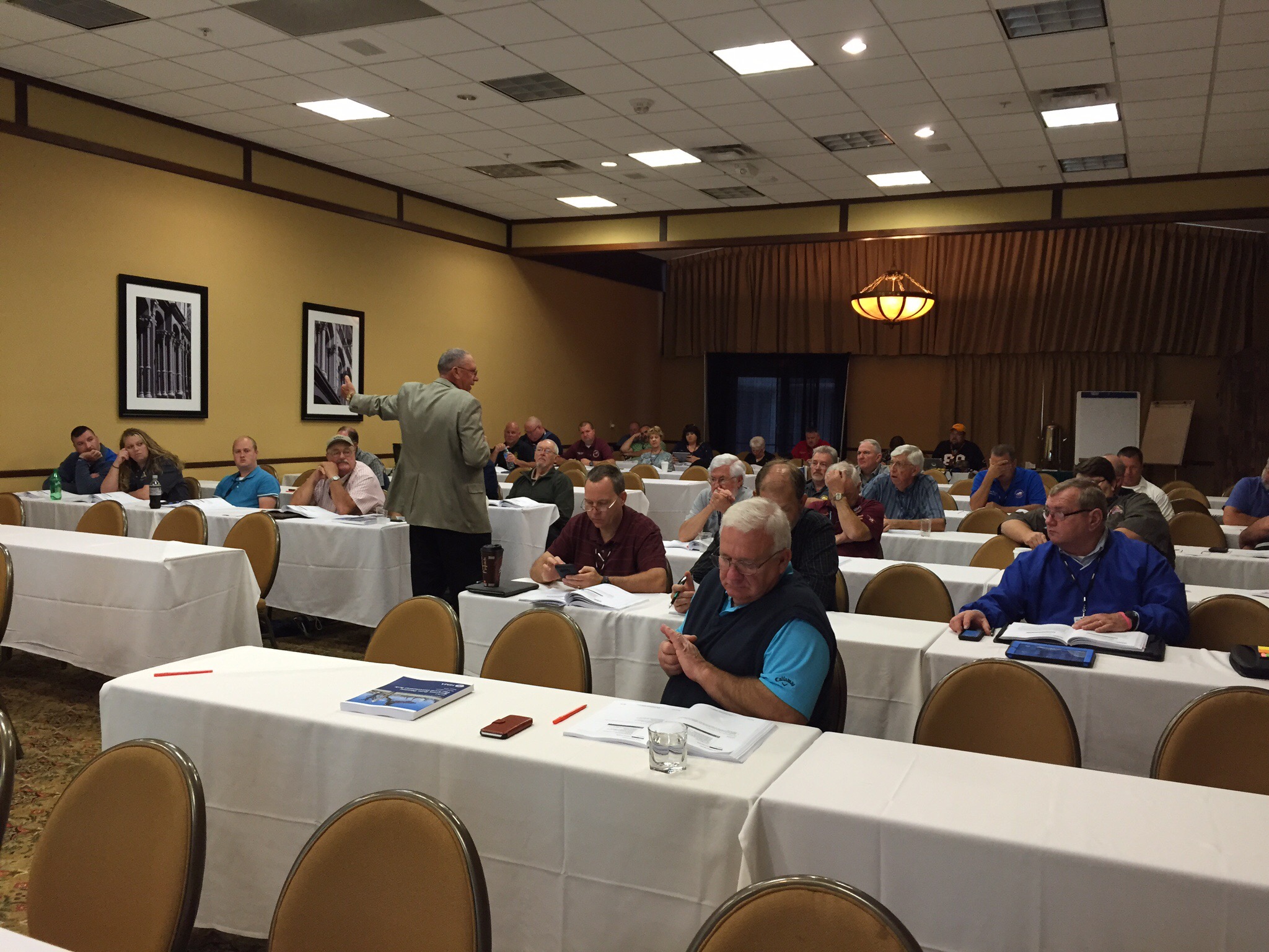
Awwww yeah! This past week, I got a chance to teach part of the brand new DHS/FEMA G0290: Basic Public Information Officer Course!

IMG_9144

Formerly known as G-290 course, this is the new FEMA Basic Public Information Officer course taught across the country for all public safety and emergency management professionals.

Thanks again to the Kentucky Emergency Management Agency and KESC for allowing me the opportunity. Also, special thanks to the ever fashionable Mike from NIOA.

Frominos

Shakas because we are reporting live from Kentucky…

@rusnivek

Day-2 of the 2015 Kentucky Governor’s Emergency Management conference for the Disaster Recovery course

Second and final day of Disaster Recovery here at the Kentucky Governor’s Emergency Management Conference. As the lead instructor, it’s game time peeps!

I started the class out with some FEMA videos on the #Katrina10 recovery operation ongoing for Louisiana. They encompassed topics like whole community, public-private partnership, Faith-based organizations, and of course Fire/EMS public safety from SBPFD.


I then started laying the groundwork in the class for the end of day capstone recovery exercise.


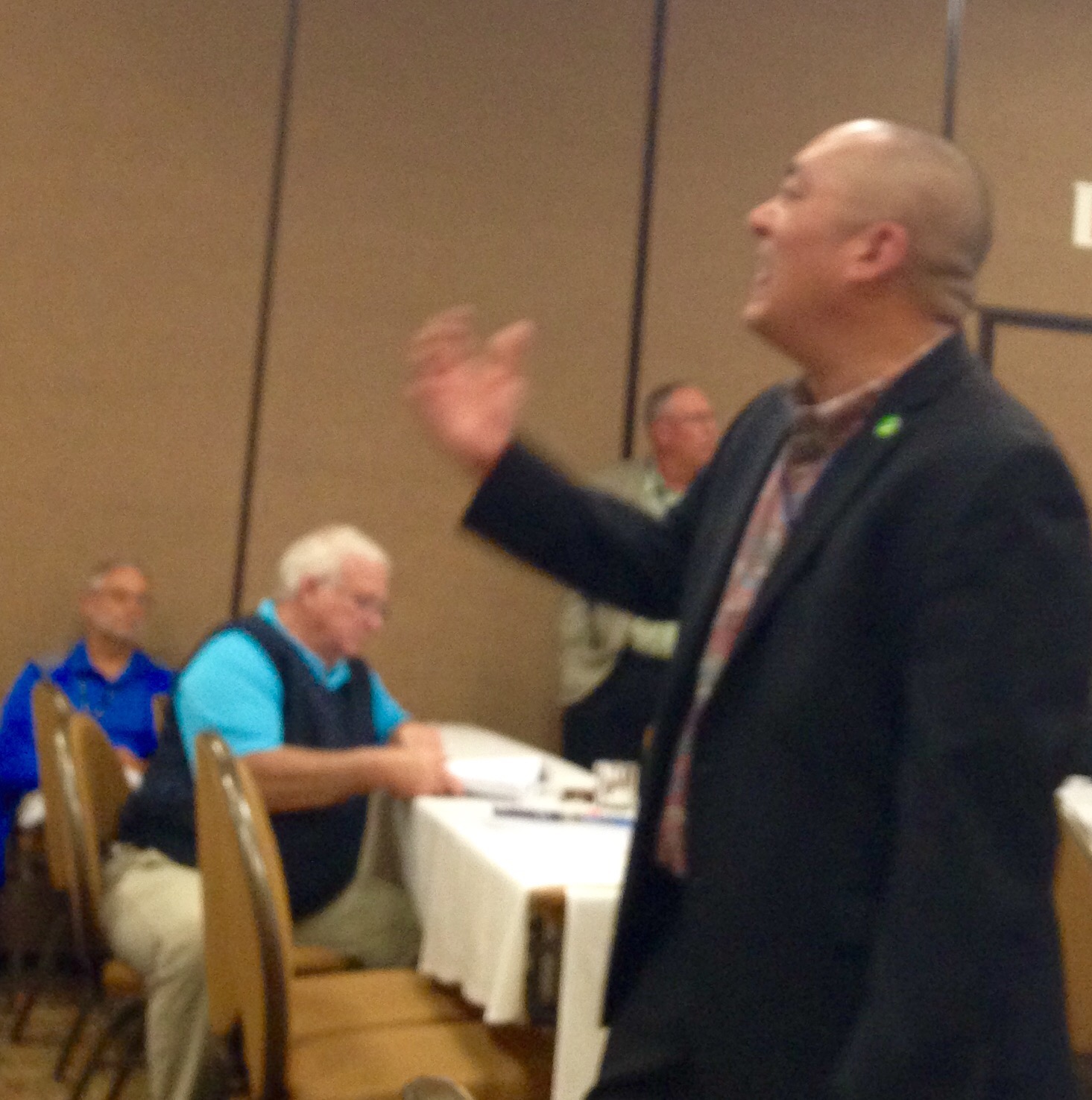
But before lunch, I was requested to instruct in the adjacent room and teach the live video section of the KY Basic Public Information Officer (PIO) Course for Mike and Buddy. Addressing platforms and uses for situational awareness/common operating picture.


Nice to see some new PIOs in front of a camera. They did fairly well.

After lunch, we did some work with forms and cost recovery with Judge Bertram.


Overall, everyone had a great time learning and collaborating ideas for future Post Disaster Recovery plans. I’m looking forward to seeing Kentucky’s success in their enhanced recovery process now.

Special thanks to the Kentucky Emergency Management Office, KESC, and Ohio EMA for the invite and allowance to speak to all 38 Emergency Management Directors, 2 EM coordinators, 1 EM planner, 1 USAR, 1 lawyer, and 1 county executive. I’m also so glad to have the largest class at the conference too.

In anticipation for AlohaFridays, they broke out their best Aloha on a Thursday afternoon…Just. For. Me.

IMG_0620
My new peeps! Reporting live from Kentucky…

@rusnivek

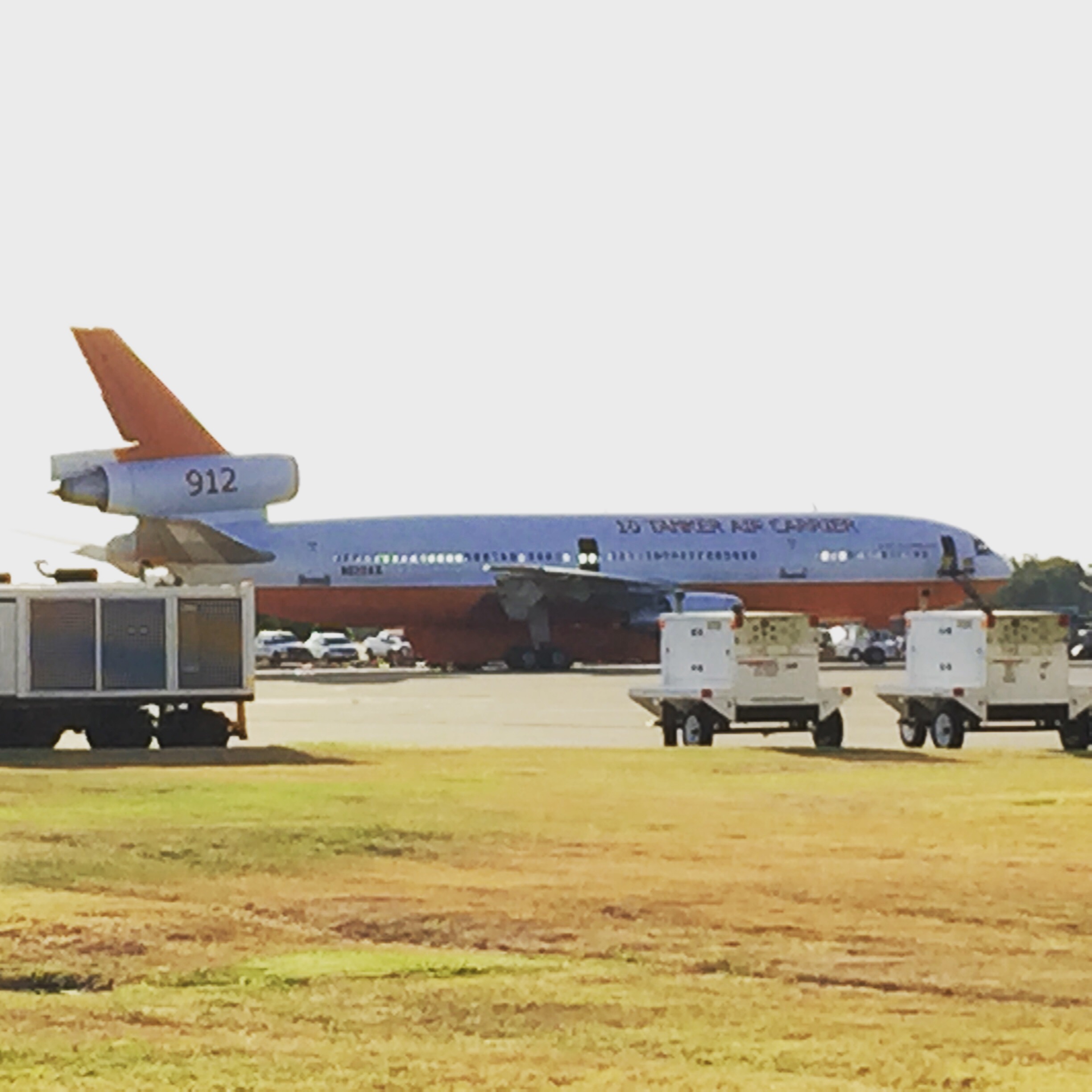
This DC-10 (aka 10 Tanker Air Carrier) makes large drops possible #NatlPrep #VLAT

Specialty aircraft like this DC-10 (aka 10 Tanker Air Carrier) make large drops possible #NatlPrep #VLAT

IMG_7374

I got a chance to see this aircraft up close when I was at McClellan airport.

It’s amazing how air professionals can take older resources and make them into something that can help so many.

Making sure we expend all resources and their effectiveness is key for any emergency or disaster response.

Don’t wait. Communicate. Make your emergency plan today.

CKYhdyqUMAQdNj1

@rusnivek

Packed September for 3 different regions with #NatlPrep

August was quite the month of new stuff, and in true form, September will be just as exciting.

I am sure know that September is my most favorite month right? September is National Preparedness month where I’ll be featuring a whole bunch of different preparedness plans and you can participate and better prepare you and your family for disasters or emergencies. All of it…totally free!

But for the rest of the month, here’s the plan:

First week: I’ll be presenting at the Nebraska Infrastructure Protection Conference on Social Media intelligence and disasters. On day-2 of the conference, I’ll be giving the my national keynote presentation: Task Force Deployment to St. Bernard Parish Louisiana – Lower 9th Ward. Region-7 boom!

Second week: I’ll be presenting at the State of Kentucky Governor’s Emergency Management Workshop rolling out the brand new G-270.4 Recovery from Disaster course. Two days of critical recovery classes in Region-4…with me!

Third week: I’ll be in Columbus doing some Mass Fatality TtT classes with Ohio EMA and then delivering another Social Media course to Franklin County EMA. Back in Region-5.

Fourth week: We have the Ohio Department of Public Safety’s PIO Symposium (Friday September 25th, 2015) in Columbus.

And the Fifth week: I just might have some time to do some paperwork. Sigh.

IMG_1909

This will be a tough first few weeks, but looking forward to the various regions.

And remember: Make your emergency plan today.

CKYhdyqUMAQdNj1

@rusnivek

Friday talks with Ohio EMA leadership

It was great to spend some time with Ohio EMA leadership yesterday.

11873457_10153129364622756_1237696503287518723_n

Discussion on community resilience, task force deployments, Presidential Declarations, key initiatives, outreach, training, EMAC deployments, stakeholder engagement, public information officer, Emergency Management visibility, social media, Public Assistance, SBA loans, documentation and reimbursements, FEMA Administrator Craig Fugate, Public and Private partnerships…heck-we even touched on the buzz words for 2015: Climate change and Cyber.

For sure, lots of notes!

It is so great to hear OEMA Executive Director Sima Merick passionate about all facets of Emergency Management.

IMG_7964

Also got a chance to hang with my Ohio EMA Training and Education peeps Lisa and Susan too. Solid discussion about the upcoming Mass Fatalities course (G-386), PIO Courses (G-290), JIC/JIS Courses (G-291), Intermediate Incident Command courses (ICS-300), and the Recovery from Disasters Course (G-270.4).

Lots of good free stuff upcoming from Ohio EMA!

BTW-If you did a double take on that first picture, yes sir Sur, #AlohaFridays are made for an Aloha shirt. Period. Also a historical note, Hawaii became the 50th state on August 21, 1959.

Don’t worry peeps, look closely as I had my Ohio pin on.

Have a great weekend!

@rusnivek

Doctor! Doctor! Give me the news!

Doctor! Doctor! Give me the news!

SurGlaude

It was outstanding to see one of my all-time favorite ER Docs today in the Emergency Department – ladies and gents, I give you the prestigious Dr. Larry Glaude!

Many of you know that in public safety, friendships are forged that last a lifetime…and Dr. Glaude is a great example. So many great memories and of course epic stories to tell!

@rusnivek