Hurricane hurrican – whatevers! Standing by for orders… #Joaquin
Updating now….


Ahhhhh, the last day of 2015 National Preparedness Month – THAT MEANS TODAY IS NATIONAL PREPAREDNESS DAY!!!!

Oh Yeah – You did it!
I know many of you have shared your tips and preparedness efforts with countless others. I am confident that your shared knowledge will pay off as we better prepare our fellow Americans for any disaster or emergency.
Thanks to all of our active partners in public safety. From the Locals to State to Federal partners who have made this month so successful – thank you!
Thank you to my agencies who have allowed me to share my preparedness tips with you.
I only wonder what will 2016 preparedness bring? Hmmm. Here’s a hint…
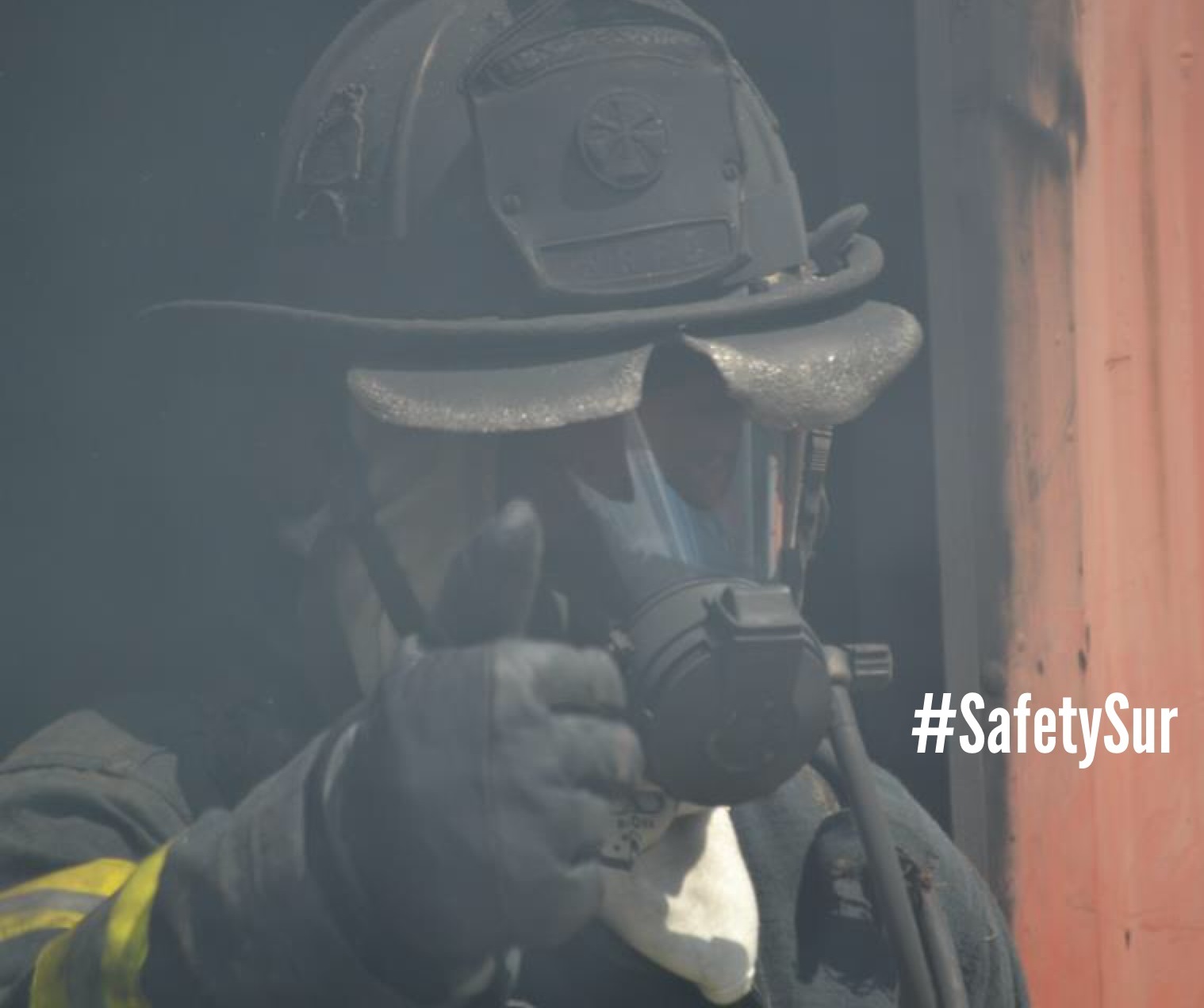
…and a little of this…

…and definitely more of this.

Who’s excited? <SQUIRREL!>
Don’t wait. Communicate. Make your emergency plan today.

Whew-I am so glad that many of you have decided to participate in this month’s activities. Keep in mind that you have 11 more months to address your public in finding ways to be better prepared in a disaster. Planning for the 2016 National Preparedness Month will begin shortly.
As always, start your peeps off right by sending them here.
The last Tuesday in the 2015 National Preparedness Month!
Today, look to building new relationships.
Normally, we don’t look outside the realm of daily public safety. It’s easy to talk to Fire/EMS, Law Enforcement, or Public Works Professionals. However, new discussion needs to happen between individuals who can support our mission goals or some unmet needs.
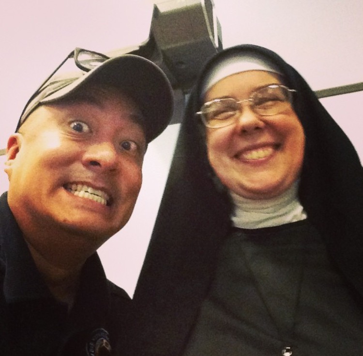
Faith-based organizations are great groups to explore new activities to support your community. In varying degrees, faith-based organizations have the capabilities to support disaster response and recovery operations with food, shelter, and supportive measures. But again, the key is to open discussions BEFORE a disaster so you can evaluate their capability.

Additionally, talk to your local politicians…esp if they are an active part of your Community Emergency Response Team (CERT). These civic-minded individuals have most likely gone through additional preparedness training and can be a great resource for anyone.

Trust me, these are the kinds of people you want to be in close contact with before, during, or after an emergency/disaster.
Don’t wait. Communicate. Make your emergency plan today.
Get to know some new local peeps!
Tuesday is here – so get prepared by clicking here.
Final week of 2015 National Preparedness Month!
Don’t freak out, still lots of things to do like download a bunch of free apps for your smart phone!
Here’s an example of a good app from the State of North Carolina Emergency Management Agency’s ReadyNC.

The ReadyNC app It talks about numerous preparedness activities as well as what to do after an emergency. Download it here.
FEMA’s got a great app that you can use to reference great info on disasters and preparedness.

Additionally you can check out their new Disaster Reporter feature, Social Hub, and get free vetted weather alerts. Download it here.
Easy way to inform others? Get out there and present/share your preparedness efforts with all your partners in public safety.

You know the phrase: An ounce of prevention/preparedness can save…..
Don’t wait. Communicate. Make your emergency plan today.
Download a bunch of free apps today!.
Get your Mundays over by clicking here!
Sunday! Sunday! Sunday! It’s the last week of 2015 National Preparedness Month!
I hope you showcase your new preparedness actions this Wednesday September 30th on 2015 National Preparedness Day!
This morning, I double checked my dog’s (Kacy – my PreparednessPup) emergency preparedness kit. As you can see, I have partitioned her food in individual ziplock packages to make it easier for portion control during feeding time.
And you guessed it, there are at least 3 days of food.

Having her own pet preparedness kit and making her carry it on her own if/when we have to evacuate will be a huge help.

Pet preparedness!!!!!
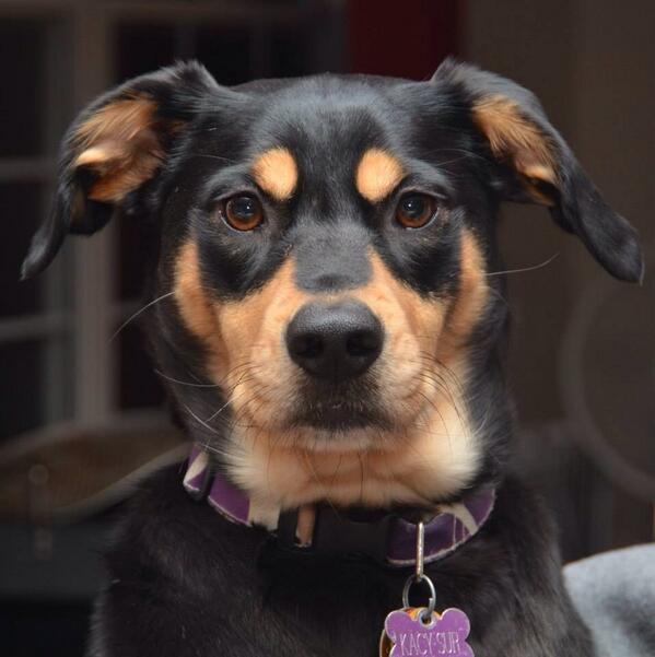
Master, I demand a rawhide for this NTED preparedness photo session.
For more information, check out the full details here.
Don’t wait. Communicate. Make your emergency plan today.
Don’t hesitate, be paw-sitively sure your pets are prepared.
Always be ready by clicking here!
This week has been chock full of preparedness tips for power outages.
I know each of you have been working hard at preparing your kits, double checking and updating your supplies. Today’s tip addresses your ride (aka your whip):
Keep your car gas tank at least half full. Gas stations rely on electricity to power their pumps. You’ll also have a good method for charging devices in an emergency or, if necessary, moving to a location with power.
To bring a smile to your Saturday, here’s a quick video for you
Keep your tanks filled…and sing loud and proud!
Don’t wait. Communicate. Make your emergency plan today.
Knowledge is power…so share your power safety tips with everyone.
Filler up and be ready by starting here!
Reporting live from Columbus…

(From L to R): Howson Staub, Sur, Bosso, and Pollack.
Let the shenanigans begin!
This better not be your plan when the power goes out…

One of the main reasons why people evacuate from the safety of their home is because they have no power source. For 2015 National Preparedness Month, here’s a few tips you can use before the power goes out:
Because no one likes a dead cell phone or portable device right?
Don’t wait. Communicate. Make your emergency plan today.
Plug into knowledge…and get better prepared today.
Be powered and Ready by starting here!
When the power goes out, your flashlights should be ready to go.
Me? Here are just a few of the flashlights I carry with me every day.
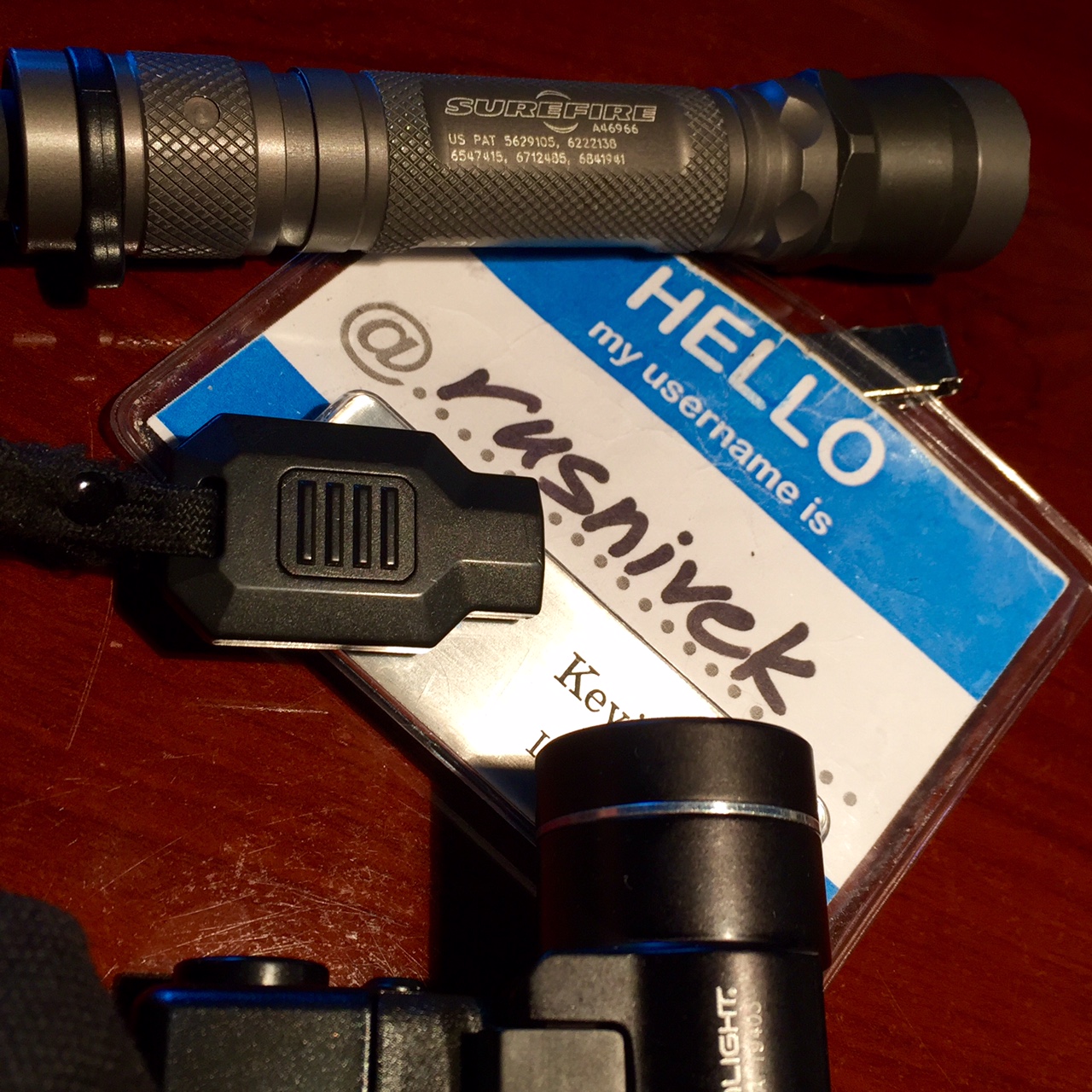
Yes, I actually carry 3 different flashlights all the time.
So if you’ve been to a preparedness class with me, you’ve seen my gear.
What kind of flashlights do you carry?
Don’t wait. Communicate. Make your emergency plan today.
Knowledge is power…so share your power safety tips with everyone.
Don’t get lost in the dark – Be Ready by starting here!
2015 National Preparedness Month – and yes, it’s still a week worth of good power safety tips!
Never use a generator, gasoline-powered equipment and tools, grill, camp stove, or charcoal burning device inside or in any partially enclosed area, including a basement or garage.

Easy right? Use OUTSIDE!
Big or small…

…don’t forget to get your generator serviced regularly.

Or else this could happen.
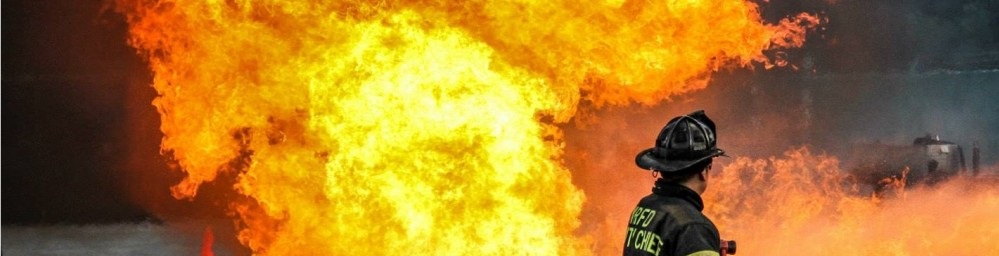
Be careful!
Don’t wait. Communicate. Make your emergency plan today.
Knowledge is power…so share your power safety tips with everyone.
Be Ready by starting here!

