Brand new Social Media Engagement Strategies course debut at SAC EOC #NDPTC

Solid start to the week being able to deliver the brand new FEMA NDPTC Social Media Engagement Strategies course.


Numerous pros from across the state of California attending today.

Special thanks to the Sacramento County Office of Emergency Services in hosting this fun class in their Emergency Operations Center.

Super special shoutout goes to MayJo!


Talked specifically about addressing audiences and their appropriate platforms. Mediums like static posts are great however we need to explore outside of your comfort zone and try new avenues to communicate. FacebookLive, Periscope, InstagramLive, YouTubeLive, etc…..these new emerging live broadcast tools can allow agencies to be creative in their broadcast of messages.


Solid afternoon facilitation on the formulation of a strategic communications specifically focusing in on social media and audience engagement.


And of course the standard shout out to our friend Cheryl.


Overall, the intent of this class is really to be a catalyst to start a meaningful conversation about engaging your constituents on various social media platforms.


Obviously, you would be taking FEMA NDPTC PER-344 Social Media Tools & Techniques first – which gives you a heavy dose of the currrent tools/platforms that are out there as well as a bunch of tactics and techniques that you could use in your EOC or JIC.


Both courses provide a different take on social media actions esp during disasters / crisis.


Keep on learning peeps. Much more to digest and figure out.


We all must do better to support our local communities, county coordinators, and state officials to work and communicate together before, during, and after the disaster.


We the people right? #Merica

@rusnivek

Few PIO takeaways from yesterday’s #CLEStPats Parade Spoxing

Few Public Information Officer (PIO) takeaways after yesterday’s #CLEStPats Parade.

#Spectacles are great for “hands-free” wearable technology…because its difficult to ride a bike and social media.


Duh! Hands free is great.

However, many people asked about my Spectacles which made it difficult to focus in on duty stuff.


The video activation on Spectacles was tough because I had/could only use my left hand only to start the video.


I wonder if those that have been following along on the SnapChat story, are disappointed when they see it’s only a “regular snap” vs “from Spectacles” in the top left identifier. I guess it’s the same viewer mindset as picture vs video because video appeals to more audiences with movement. Spectacles video is circular in nature, easy to expand view of scene. Here’s a quick example.

Here’s the view from a portrait style snap.

And here’s the same view bust just one of the possible views of a snap with viewer control of scene and framing.

Obv, lots more to see.

Additionally,  I can see many of the viewers expecting video as they are getting the “behind the scenes” details with consistent narration. Which means – WE HAVE TO KEEP TALKING ALL THE TIME! Yikes.


As for Spectacles, you might want to consider your breathing as part of the “production” because my Spectacles picked up my breathing standing still and on the bike.

Wind blocking isn’t so great on them – so your “action” movement might be tough to record proper audio. There are no visible ports on SnapChat’s Spectales to attach an external mic.

Again, fun times yesterday with Cleveland Police and so many all-hazards partners in public safety.


If we consistently support each other, we will all succeed in our respective missions.

Be safe out there peeps!

@rusnivek

2017 #CLEStPats Parade and your favorite PIOs Spox on bikes!

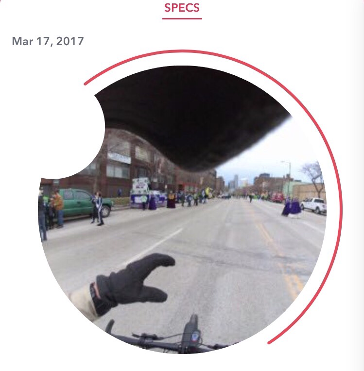
2017 St. Patrick’s Day Parade in Cleveland is in full swing today.

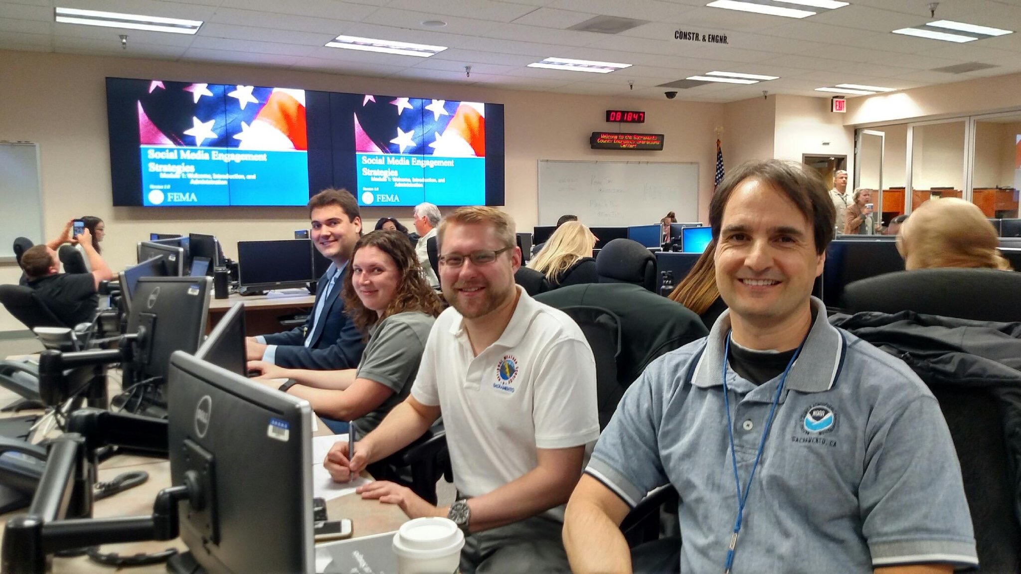
Always remember to check in at the start of your shift at the EOC!


As part of our all-hazards plan, we have coordinated services with so many other agencies. Obviously the Cleveland EOC Manager wrote an IAP for all of us (Incident Action Plan).


This coordinated document addresses issues that could/likely arise during the operational period. Briefings and discussion completed by leadership as well as the Incident Commander (IC) help all C&GSF successfully complete their tasks. Additionally, understanding each other’s roles as well as the overarching SMART objectives, mission, and goals contribute to the success of the event.

Reporting into my ESF-15: External Affairs – Spox work today!


Planned ESF-1 (Transportation) routes look fairly open so sharing this kind of info with the general public is important because the less impaired drivers we have on the roadways, the better.


That’s why we encourage building partnerships before an event or large disaster. In this case, partnerships between all providers and the Greater Cleveland Rapid Transit Authority (@GCRTA) was key in sharing the message.

Once we field deployed, we planned on a few specific events and locations. Showcasing the skills of local bomb teams and K9 teams is an important part to share with the general public. Security is always important as we must ensure that everyone has a safe St. Patrick’s Day.


We used both Facebook Live, Twitter, Facebook, and Periscope to broadcast directly from the parade staging area on Superior Ave.

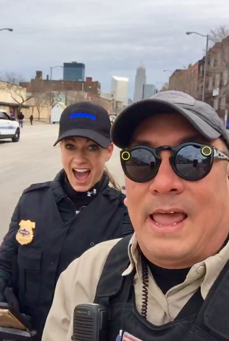
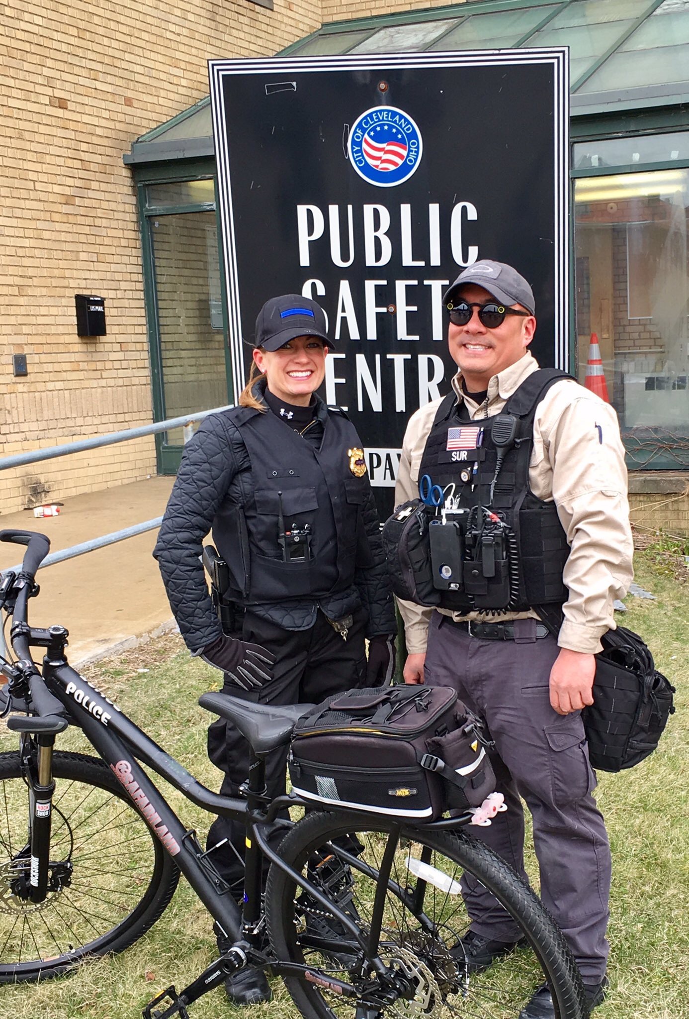
To aid in movement, we opted for a few bikes courtesy of the Cleveland Police Bike Unit.


You may have seen these bikes deployed out before during the RNC – they are NICE!!! By being mobile, PIOs have the ability to get anywhere in the response area (Note: This was the first time we have deployed PIOs on bikes for an event).

We even saw many of the reporters we regularly work with – like Fox 8 Cleveland‘s Jessica Dill who decided to do a live spot with us.


Great to have great relationships with local media.

We were able to showcase a few behind the scenes things like the lineup and start of the parade and spot interviews with VIPs in the parade lineup.


Cold day, but it seems like everyone heeded our cold weather warnings. NICE!


We reported back to the EOC to reorient ourselves as the parade had over 120 vehicles/floats.


This gave us a chance to brief w/ leadership and Incident Command (IC). As we continued to push out critical messages, it was imperative that we confirm with the Incident Commander that we are pushing out the right information.


Salient ICS point of reference: PIOs do not operate independently from the IC – they work to push the coordinated messages/information that is approved by the Incident Commander.

As emergency calls come in, the spread of mis-information is rampant. We as PIOs and official Spokespersons (Spox) must ensure that we get the right message out.

As we head back out to into the field, we are able to share traffic patterns and push that information out to the general public. This will help them depart safely and quicker after the parade from downtown Cleveland.

Additionally, Cleveland Police was out ensuring peace for all who attended the parade.


Not only local, but there are so many partners involved like the Cuyahoga County Sheriff


County Emergency Management


(Acting) Cuyahoga County Office of Emergency Management Agency Administrator Mark Christie and @rusnivek

…and even several Federal agencies too.

Instagram PC: Jay Kossman (digital504)

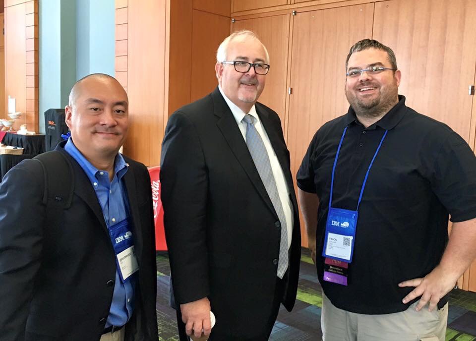
Great to see solid working relationships with all parties involved.

As PIOs we had a great day reporting from the field. We really enjoyed highlighting the efforts of so many pros working today.


Live broadcast from field PIOs = success for the #CLEStPats Parade!

From your favorite PIOs…


…Have a safe St. Patrick’s Day everyone!

@rusnivek

Reviewing the recap from the big 2017 PIO Conference

Finally reviewing some of the recap video from the PIO Conference in January.

Erica Creech

Erica Creech

Great time with over 100 seasoned Public Information Officers (PIOs)…

Jennifer Ciaccia

Jennifer Ciaccia

…from multiple states including from all over Ohio.

Kevin Sur

Kevin Sur

Saturday night fun stuff.

@rusnivek

Providing oversight on today’s US DHS and PS Canada International Exercise #Cause4 #CauseIV

I was requested to support the Department of Homeland Security’s 2016 Science and Technology Cause-4 International Exercise between the United States and Canada today.

dhs_st_logo_blue

United States Department of Homeland Security (DHS) and Public Safety Canada. Yep-international baby!!!!!

But crossing borders is more difficult than you think – esp when dealing with patient privacy, tactical operations, and coordinating efforts amongst ultra type-A personalities.

IMG_1095

This is why training and exercising is so crucial to agencies who want to make a different in their communities they serve. This is also why Emergency Management is ideally a solid coordinating entity for this type of response.

IMG_9303

In this particular international exercise, emergency response agencies are testing EMS response, transport information, sharing actionable data, social media, and a whole lots others stuff.

IMG_9292

I’m just glad to be a small part of the work by so many people and agencies.

post-1

I am convinced that through joint exercises, we can build stronger core agencies and be better responsive to emerging threats and hazards.

IMG_6711

“It is imperative that we enhance our all-hazards public safety partnerships.” – Kevin Sur.

@rusnivek


Just like William Shatner #DFT2015

I must be cool if I’m in the same pool as William Shatner.

http://www.youtube.com/watch?v=EYkRF_FmD40

“Eat, Fry, Love.” – State Farm Insurance

OK, he’s got some good tips.

wait…Wait…WAIT!!!!!! James T. Kirk…..Kevin T. Sur…..I now see the similarities!

@rusnivek

#TBT to the Category 4 Hurricane Kevin (1991) #NatlPrep #Saffir #Simpson #Wind #Scale

TBT to a Category 4 Hurricane Kevin from 1991.

HurricaneKevin-track-1991

Whoa-Hurricane Kevin was quite strong.

Saffir-Simpson Hurricane Wind Scale: The Saffir-Simpson Hurricane Wind Scale is a 1 to 5 rating based on a hurricane’s sustained wind speed. This scale estimates potential property damage. Hurricanes reaching Category 3 and higher are considered major hurricanes because of their potential for significant loss of life and damage. Category 1 and 2 storms are still dangerous, however, and require preventative measures. In the western North Pacific, the term “super typhoon” is used for tropical cyclones with sustained winds exceeding 150 mph.

Category Sustained Winds Types of Damage Due to Hurricane Winds
1 74-95 mph
64-82 kt
119-153 km/h
Very dangerous winds will produce some damage: Well-constructed frame homes could have damage to roof, shingles, vinyl siding and gutters. Large branches of trees will snap and shallowly rooted trees may be toppled. Extensive damage to power lines and poles likely will result in power outages that could last a few to several days.
2 96-110 mph
83-95 kt
154-177 km/h
Extremely dangerous winds will cause extensive damage: Well-constructed frame homes could sustain major roof and siding damage. Many shallowly rooted trees will be snapped or uprooted and block numerous roads. Near-total power loss is expected with outages that could last from several days to weeks.
3
(major)
111-129 mph
96-112 kt
178-208 km/h
Devastating damage will occur: Well-built framed homes may incur major damage or removal of roof decking and gable ends. Many trees will be snapped or uprooted, blocking numerous roads. Electricity and water will be unavailable for several days to weeks after the storm passes.
4
(major)
130-156 mph
113-136 kt
209-251 km/h
Catastrophic damage will occur: Well-built framed homes can sustain severe damage with loss of most of the roof structure and/or some exterior walls. Most trees will be snapped or uprooted and power poles downed. Fallen trees and power poles will isolate residential areas. Power outages will last weeks to possibly months. Most of the area will be uninhabitable for weeks or months.
5
(major)
157 mph or higher
137 kt or higher
252 km/h or higher
Catastrophic damage will occur: A high percentage of framed homes will be destroyed, with total roof failure and wall collapse. Fallen trees and power poles will isolate residential areas. Power outages will last for weeks to possibly months. Most of the area will be uninhabitable for weeks or months

Don’t wait. Communicate. Make your emergency plan today.

CKYhdyqUMAQdNj1

Hurricanes are unpredictable so get Ready by starting here for free!

@rusnivek